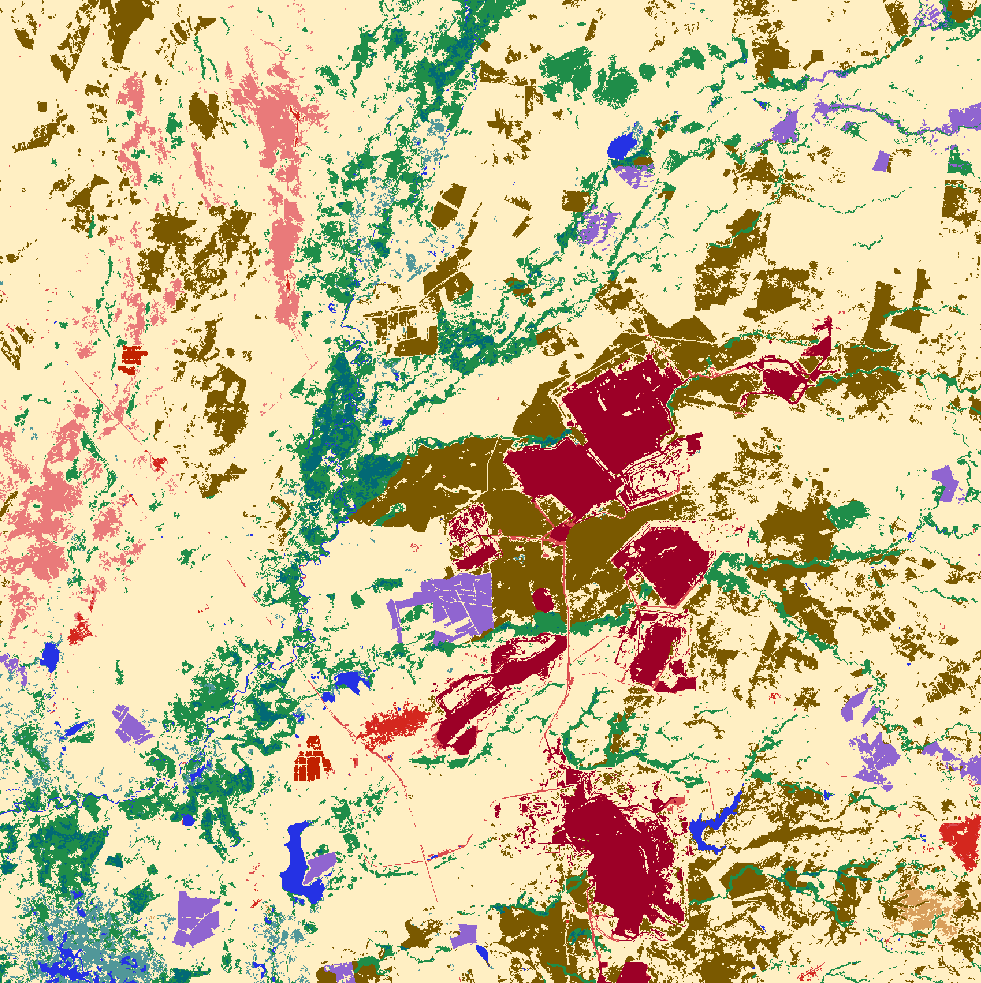
Landcover (MapBiomas Colombia)
MapBiomas
Forests and CarbonChanging LandscapesBiodiversityLand cover
Resolution: 30m
The MapBiomas Colombia dataset provides annual land use and land cover maps for Colombia from 2000 to the latest available year. This data is created through the collaboration of experts in earth sciences, remote sensing, GIS, and programming. Using advanced cloud processing and automated classifiers on the Google Earth Engine platform, the project provides an open, accessible, and updated resource for monitoring land cover and land use changes in Colombia. More information can be found at Mapbiomas Colombia's site.