
July 1, 2026 · Miles van Blarcum
How state land offices can more efficiently monitor millions of acres
Featured
Most recent
Upcoming
Most recent

Modern remote monitoring for conservation easements
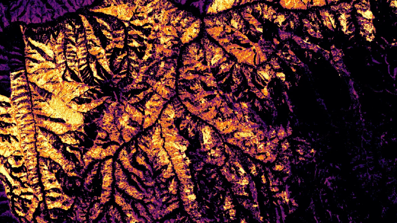
How Blue Mountain Land Trust tracks wildfire impacts with Lens
Lens Newsletter: September 2026
Monitoring on your terms: Lens integrates with the tools you already use

Meet the Lens agent
Lens Newsletter: August 2026
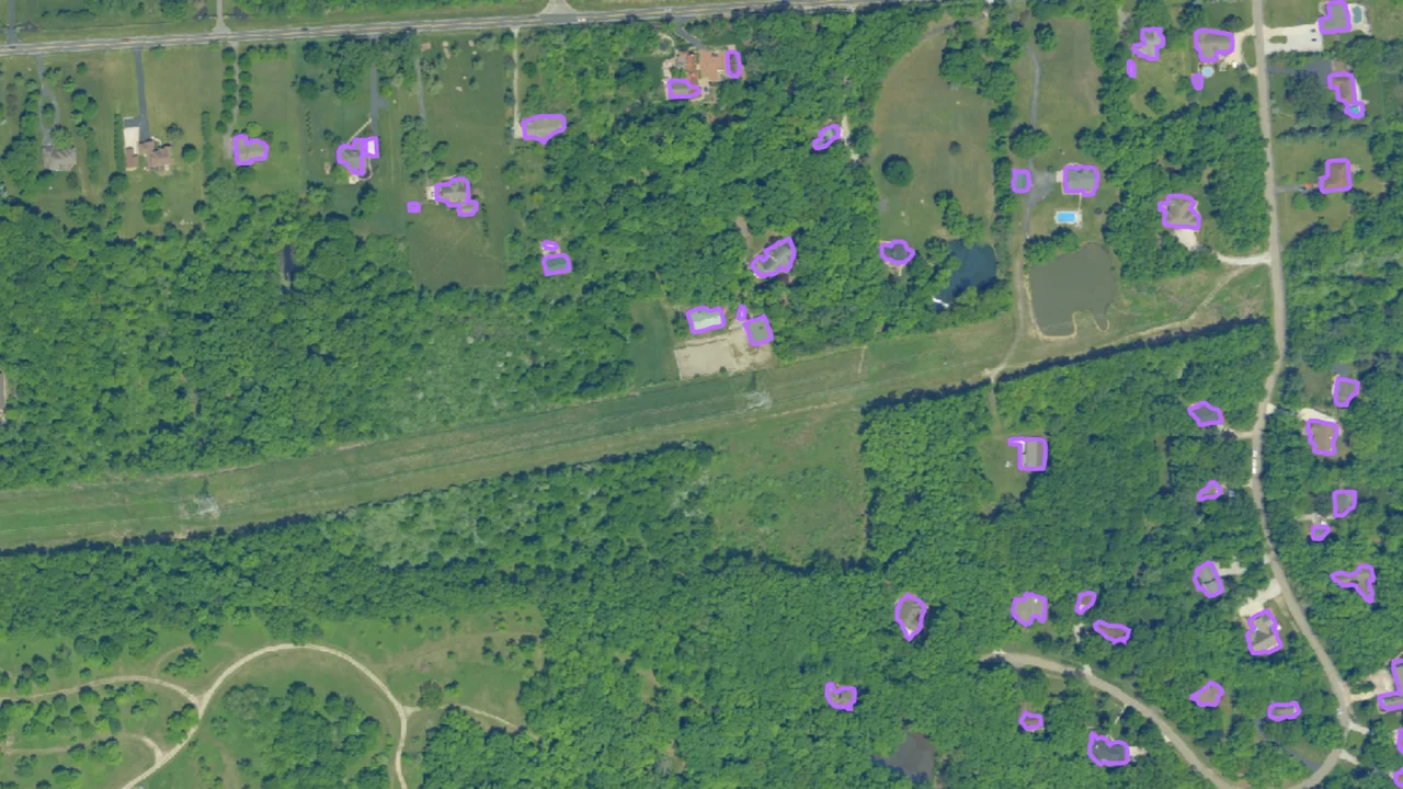
Get started with the Lens agent
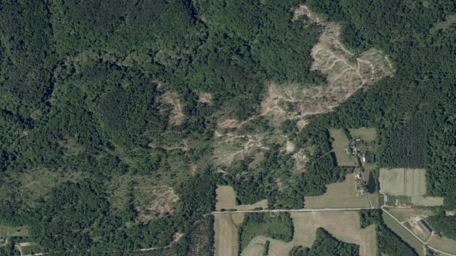
What does remote monitoring actually cost? A look at ROI across sectors

Lens Newsletter: July 2026
How state land offices can more efficiently monitor millions of acres

Smarter stewardship and land management for state land offices

Lens Newsletter: June 2026

Forest insights at unprecedented resolution with CTrees data in Lens

Monitoring cheatgrass at scale with Lens

Scaling stewardship: Inside Westervelt's monitoring workflow with Lens
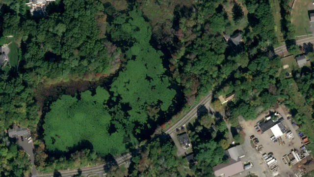
Turning Lens imagery into field-ready maps

Lens Newsletter: May 2026

Upstream Tech partners with Colorado State Land Board to modernize land stewardship monitoring

Upstream Tech and CTrees partner to improve access to high-quality forest data

Lens Newsletter: April 2026

Log in, start monitoring: What to expect when you sign up for Lens

Webinar: Remote monitoring for African conservation

How the Forest Society uses satellite tasking to scale their stewardship

Lens Newsletter: March 2026

The ROI of remote property monitoring in Washington County

Unlock deeper insights with high-resolution multispectral satellite data
Get started in Lens

Lens Newsletter: February 2026

Access the playbook for remote shoreline monitoring and waterfront compliance

Access the remote monitoring playbook for trespass and encroachment

How to quickly assess storm damage using satellite data with Lens

Lens Newsletter: January 2026

Managing the unexpected: Automated change detection for land and infrastructure monitoring

Lens 2025 year in review

Lens Newsletter: December 2025

Proactive trespass detection

From space to screen: How satellite data gets to you

Custom change detection in Lens has never been more powerful

How to easily monitor watersheds at scale with geospatial data

Lens Newsletter: November 2025

Scaling remote land monitoring with agentic workflows

Strange sightings in satellite imagery

Lens Newsletter: October 2025

When boundaries shift: How Lens helps you spot parcel area changes
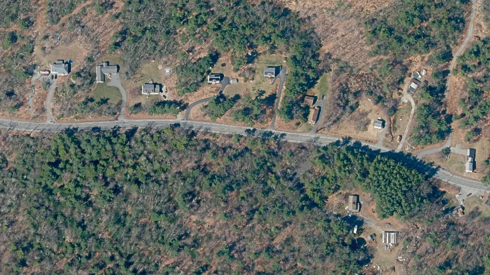
Assessing tax parcels with Lens
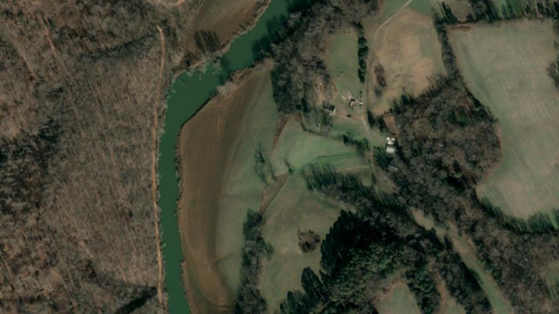
Analyzing flood trends in Tennessee

How AI agents will impact remote monitoring

Beyond the naked eye: Using NDVI to see more in satellite imagery

Efficient, affordable remote monitoring for land trusts
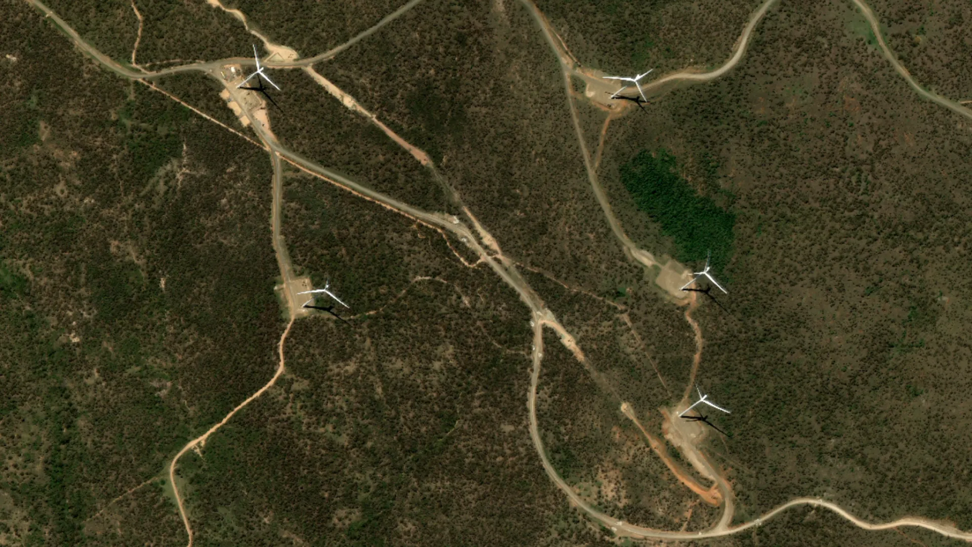
Monitoring development with automated change detection

Lens Newsletter: September 2025

For the love of animals: How remote sensing elevates conservation work

Harnessing remote monitoring for agriculture with Lens

Understanding satellite imagery resolution

Managing riparian vegetation in Texas

Tracking wildlife poaching with remote monitoring

Making sense of uncertainty in remote forest carbon estimates

Lens Newsletter: August 2025

Exploring the power of high-accuracy land cover data

Access NOAA aerial imagery for damage assessment & disaster response in Lens

Evaluating agriculture at scale in Colorado
Forest carbon data for your entire Lens portfolio

Coastal restoration in South Carolina

Organize your remote monitoring with custom tags in Lens
Lens Newsletter: July 2025

Satellite tasking made easy

Unlock remote monitoring at scale: Portfolio-level impact analysis with Lens

Lens Newsletter: June 2025

Remote monitoring for Canadian conservation

Introducing a new way to monitor at scale

Automated change detection with Lens Lookout

Saving time and strengthening landowner relations with Lens

Lens newsletter: May 2025

Lens for property assessment

Unmatched carbon project due diligence with Lens & Chloris Geospatial

Upstream Tech and Space Intelligence partner to streamline access to high-quality land cover data

Navigating the nuances of biodiversity monitoring

Lens newsletter: March 2025

Smarter property & agriculture monitoring for county tax assessors

Introducing 15cm Imagery in Lens

New map tools in Lens: Explore your properties with more precision

Visualizing impact: Export, share, and integrate geospatial data from Lens

Introducing GeoTIFF downloads for NAIP and Sentinel-2 imagery in Lens

Introducing outsourced monitoring services

Lens newsletter: February 2025

From pixels to polygons: Clip and save key areas of interest in Lens

Remote forest and vegetation monitoring for park managers

Earth observation for smarter nature-based investments

Lens 2024 Year in Review

Monitoring Glaciers from Space
Lens newsletter: December 2024

New Dataset Launch in Lens: Turbidity Index

Unlock high-resolution forest carbon insights in Lens with Planet’s 3-meter monitoring data

Lens newsletter: November 2024

Upstream Tech and Chloris Geospatial partner to accelerate access to Forest Carbon data
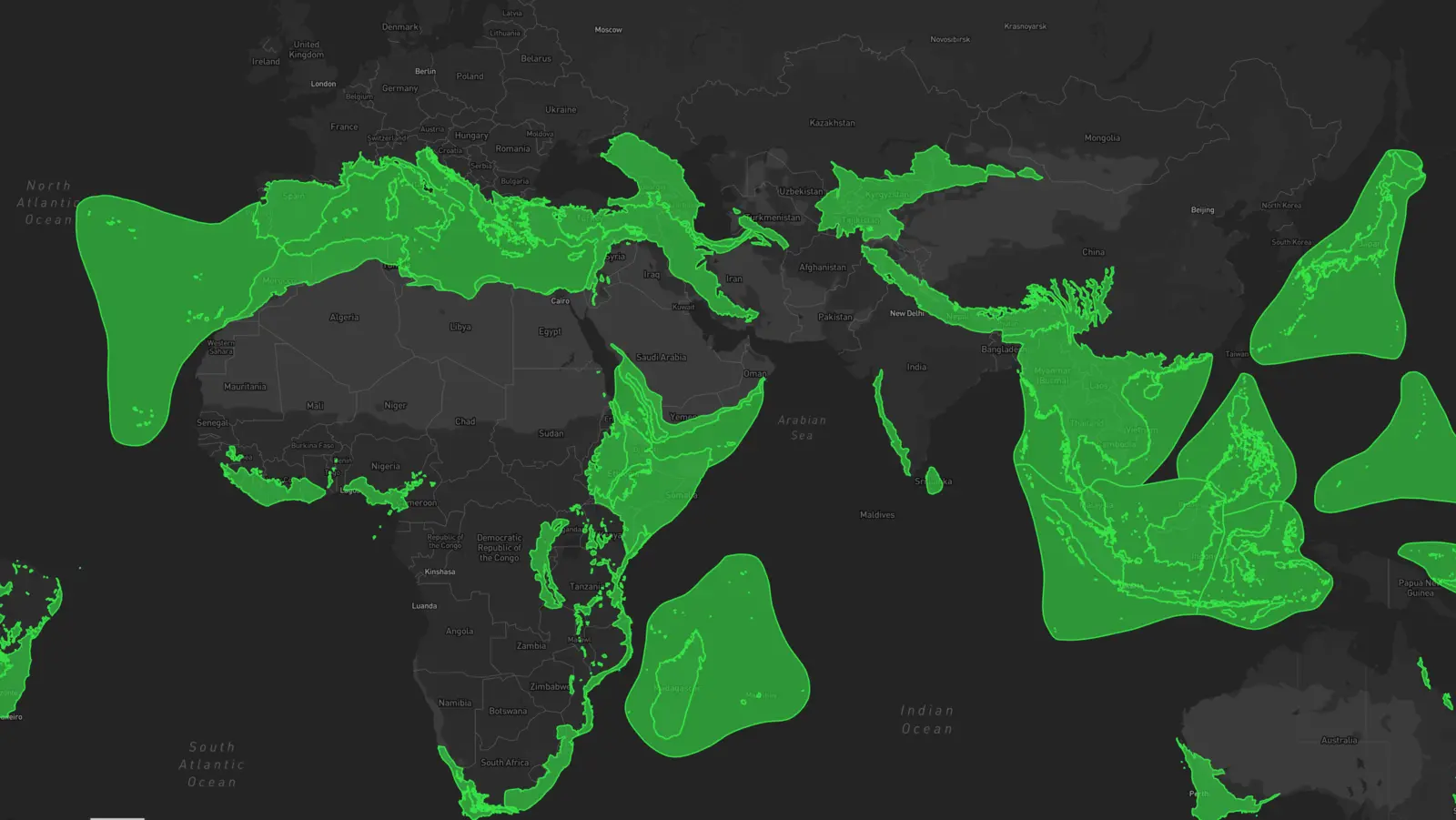
New Additions to the Lens Library: Empowering Global Biodiversity Conservation

American Forest Foundation (AFF) Powers Flagship Family Forest Carbon Program With Upstream Tech
Lens newsletter: October 2024

Lens access for Hurricane Helene response

Planet's global Forest Carbon Monitoring product at 3-meter resolution coming to Lens

Lens Newsletter: September 2024

Announcing: 2023 Planet Forest Carbon Diligence data now available in Lens

Lens Newsletter: August 2024

EPA Superfund sites now available as an overlay in Lens
Lens Newsletter: July 2024

Announcing the launch of PRISM Precipitation Data in Lens

Lens Newsletter: June 2024

Adding integrity to carbon projects with carbon insurer Kita
Lens Newsletter: May 2024

What we're reading: The positive impact of conservation action

3 New Overlays Now Available in the Lens Overlay Library

Reforesting the land in the Atlantic Forest with Apple's Restore Fund and Lens

Monitoring diverse landscapes with The Trustees of Reservations

Ordering commercial imagery: Tasking and the archive

Respond to algal bloom risks in lakes, reservoirs, and more with Chlorophyll monitoring in Lens
Lens 2023 in Review

Tracking long-term conservation outcomes with Environment and Climate Change Canada