
There's so much new with Lens these days! Thanks for checking in — see the highlights here, and scroll on for all the details.
- 💻 What's new: An ROI calculator to help you understand what remote monitoring is actually worth
- 🎥 New data in the Lens Library: Monitor invasive grasses remotely
- 🐘 Where on Earth: Dzanga Bai Elephant Enclave
If you missed this newsletter in your inbox, be sure to subscribe to stay up to date with the latest product updates, events, and remote monitoring resources.
What's the true cost of remote monitoring?
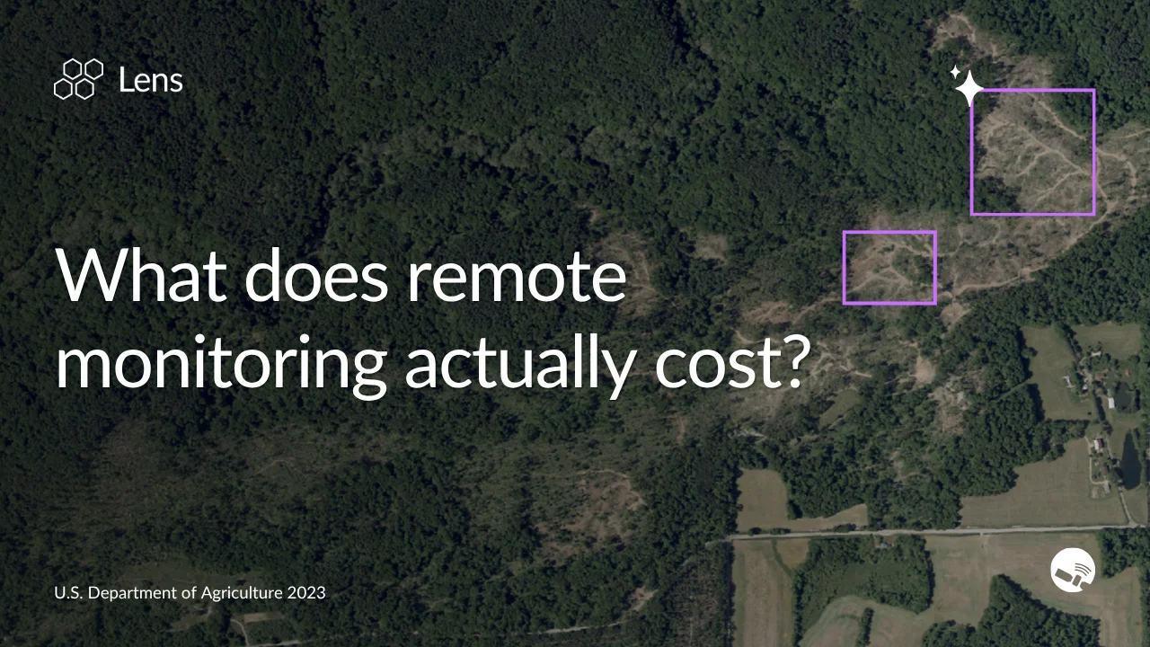
A look at ROI over the years and across sectors
We've spent seven years tracking the ROI of remote monitoring across sectors from land trusts to utilities. Regardless of what you're monitoring land for, Lens demonstrates clear value by saving staff time and catching costly risks earlier.
Colorado Cattlemen's Agricultural Land Trust cut staff monitoring costs by 31% while growing their program 53%.
Washington County, CO used Lens to uncover $3M+ in new assessed property value and save 180+ hours of field time in a single season.
In testing modeled on a utility partner's use case, the Lens agent reduced core monitoring costs by 90–95%.
If you're curious what's driving these results, or want to get a sense of what kind of savings Lens could bring to your organization, read our latest blog and try the ROI calculator for yourself.
All the data you need in one place
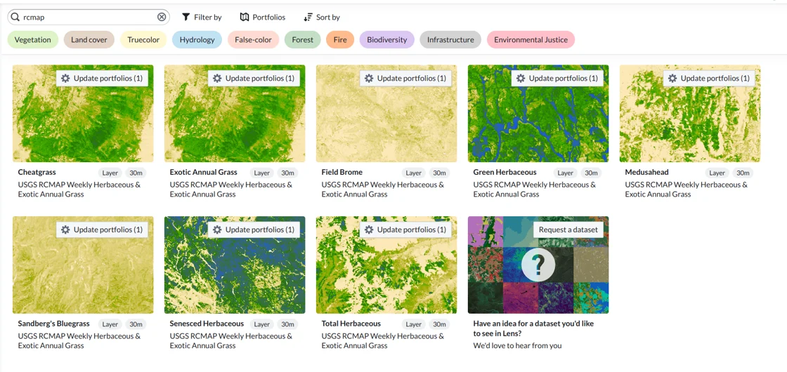
Invasive grasses are one of the biggest threats to rangeland. Lens can help.
Cheatgrass and medusahead are among the biggest threats to rangeland health — outcompeting native vegetation, fueling more frequent wildfires, and degrading grazing land over time. Tracking where they're spreading has traditionally meant time-consuming field surveys that can't keep pace with how fast these species move.
Lens now includes eight new dataset layers that make it possible to monitor invasive grasses remotely, at scale. Explore them all in the Lens Library.
If you've been hunting for data to support your work but haven't been able to track it down, reach out to our team. We're constantly expanding our data offerings, and can work with you to source the best geospatial data for your projects.
Where on Earth?
Dzanga Bai is tucked amid the rainforests of the Central African Republic, and is known as a place where forest elephants have carved out a niche that's visible from space. This swampy clearing attracts tens to hundreds of elephants every day, who have cleared or trampled much of the vegetation in the area, seeking waters rich in minerals and salts within the sandy bai. Imagery from 2025 and 2026 gives us a glimpse into this special place and a bird's-eye view of how it has changed over the past year. Can you spot the elephants in the image from 2025? We count at least 10 — let us know if you find more!

Check out the rest of our resources to learn more about Lens, and know that you can always reach us at [email protected] with any questions.
Happy monitoring!
Alison & the Lens Team

