Autumn is here! There's so much new with Lens to help you level up your monitoring as the leaves begin to fall. See the highlights here, and scroll on for all the details.
- 🎥 You're invited: Remote monitoring for conservation easements
- 📚 Latest resources: Everything to know about satellite tasking
- 👋 Say hi to our team next week at Rally
- 🌻 Where on Earth: Fall harvest season in North America
If you missed this newsletter in your inbox, be sure to subscribe to stay up to date with the latest product updates, events, and remote monitoring resources.
Upcoming webinar: Modern remote monitoring for conservation easements
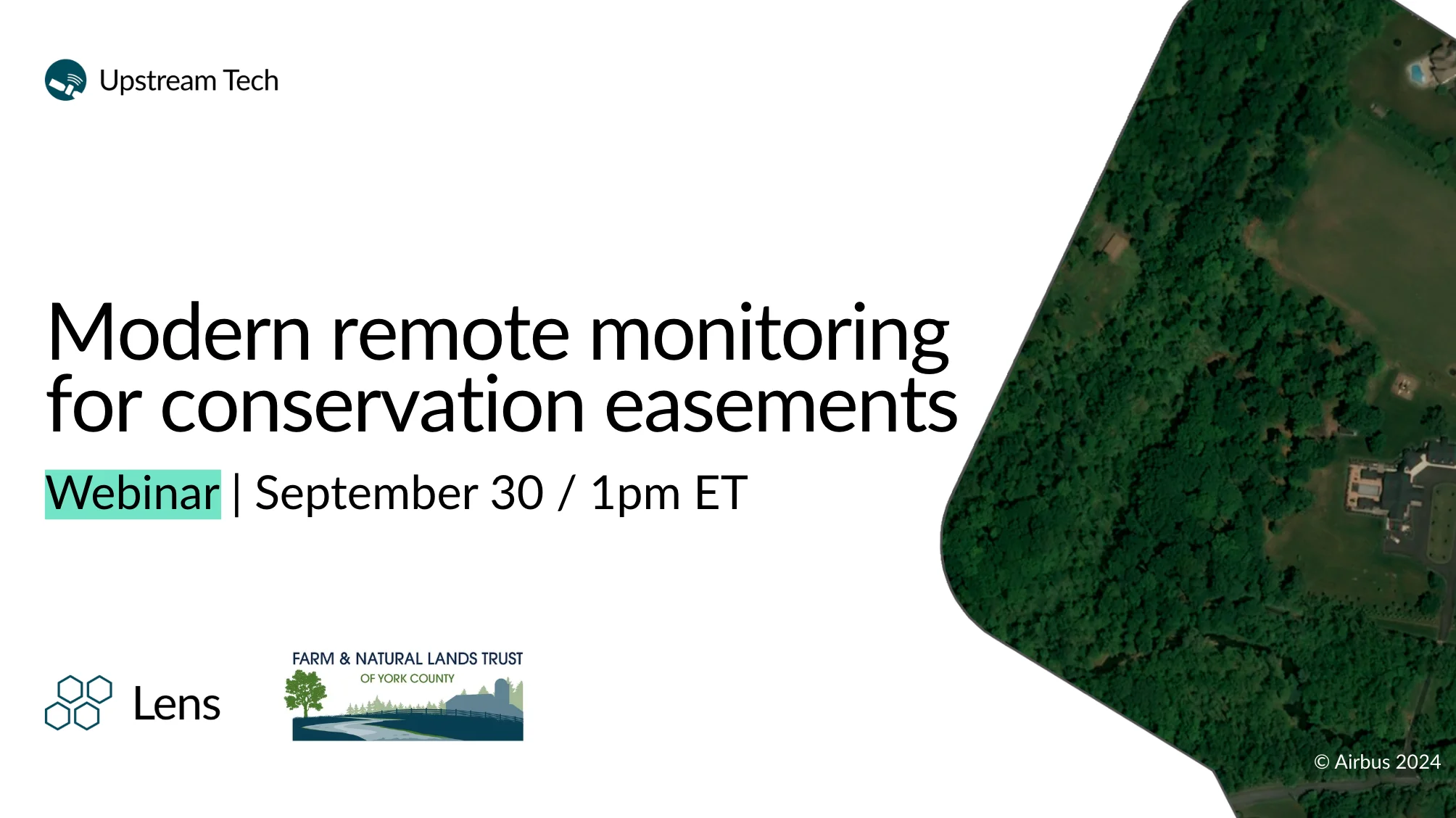
September 30 | 1pm ET
Join us for a live webinar covering the latest Lens tools and features to help you level up your easement monitoring. If you need a refresher on monitoring with Lens, have new team members just getting started with Lens, or are looking to expand your current monitoring capacity with the latest features, this webinar is for you.
What's new

🤝 Lens now integrates with DroneDeploy
With our new one-way integration, drone imagery stored in DroneDeploy automatically appears in Lens for any property that shares a footprint with the image. Get in touch with us to learn more!
We'll be in Denver, CO for Rally 2026

We're headed to Rally: The National Land Conservation Conference, hosted by the Land Trust Alliance in Denver September 16–19. Jake, Barrett, and Miles from the Lens team will be there — stop by booth 301 to say hi, or reach out ahead of time to schedule a time to connect.
The latest resources: Satellite tasking
Archive or tasking — which is right for your next order? We're resurfacing two of our most useful reads on ordering commercial imagery in Lens:

Ordering commercial imagery: tasking and the archive
A rundown of the tradeoffs between browsing existing archive imagery and tasking a satellite to capture something new, plus how the Tasking Estimator Tool helps you compare vendors and pricing before you order. Read more →

Satellite tasking made easy
Includes our highest-resolution tasking option yet, 15cm Pléiades Neo HD15 imagery from Airbus, available to customers on Plus and Enterprise plans. Read more →
Where on Earth?
The fall harvest season is beginning for much of North America! The Cropland Data Layer is a modeled dataset that provides detailed crop-specific landcover data in the continental US. Check out this agricultural site in Colorado to see harvest trends over the past 16 years.

Check out the rest of our resources to learn more about Lens, and know that you can always reach us at [email protected] with any questions.
Happy monitoring!
Alison & the Lens Team