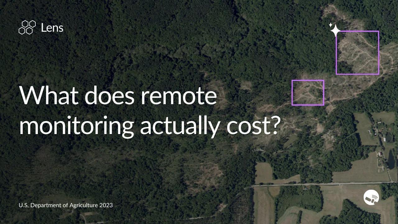
When we started building Lens, we had a hunch that satellite imagery could be a game changer for land oversight and management, but only if it was cost-effective for teams of any size or budget.
Together with the Nature Conservancy's (TNC) California chapter, we put that idea to the test in 2019, and Lens was developed to prove the ROI of remote monitoring from day one. Within a year, the results were clear enough to extend Lens to other TNC state and national chapters: an average 28% reduction in costs and 57% savings in personnel time compared to traditional monitoring.
But that was one organization, and a lot has changed since. We've tracked the ROI of remote monitoring across land trusts, NGOs, government agencies, and more over the last seven years — and the results tell a consistent story. Read on for what we've found, or plug in your own numbers below.
Curious what remote monitoring could save your organization?
Putting Lens to the larger test
Later in 2021, TNC California partnered with the Land Trust Alliance to fund a two-year grant program supporting 35 land trusts to pilot remote monitoring. The findings, presented in early 2023, were striking: across 13 land trusts with sufficient data for direct comparison, remote monitoring saved an average of 4.5 staff hours per property. One participant — Lower Shore Land Trust in Maryland — found that remote monitoring cost $54 per property versus $202 for in-person visits, with projected savings of $20,000 and 567 hours annually.
The study also surfaced something less expected: remote monitoring often produced better monitoring coverage. In-person visits frequently saw only a fraction of each property every year; remote monitoring covered 100%.
- 100%
- Property coverage vs. partial in-person visits
- $20K+
- Projected annual savings
Land Trust Alliance grant program, 13 land trusts (avg.) and Lower Shore Land Trust, MD, 2021–2023.
What's changed since we started: Advancements in technology that compound the returns
The LTA study showed what remote monitoring could save on day one. Since then, we've kept investing in capabilities that push those savings further — reducing time and cost, and extending what's possible at scale.
Automated change detection: Consistent oversight without extra field time
Lens Lookout, our automated change detection feature runs year-round to scan for meaningful landscape changes like vegetation loss, new construction, post-fire burn scars, and flooding. Lookout surfaces alerts about these changes as soon as something warrants attention. For easement holders, that means potential violations can be flagged within days or weeks of occurring, not discovered a year later. For infrastructure managers, it means post-event visibility into fire and flood impacts before field teams can get out. It ensures full-area oversight while shortening the response time, effectively mitigating risk without adding any additional staff.
Agentic workflows: Monitoring at unprecedented scale
One of our most significant product advancements to date, the Lens agent, automates the imagery review process itself. Instead of a land manager manually cycling through sites and comparing images, the agent is given a monitoring objective in plain text — trespass detection, new structure identification, illegal dumping — and uses an AI model to conduct that monitoring across hundreds or thousands of properties in parallel, flagging only the most critical observations for teams to review. For organizations whose portfolios are larger than what staff can manually review, the agent doesn't just make monitoring more efficient; it makes monitoring possible.
Both capabilities reflect a broader shift: the efficiency gains from remote monitoring are no longer just about reducing field time. They're about compressing the review process itself, extending coverage to a scale that wasn't feasible before, and catching issues earlier across all the land these organizations manage.
What we're seeing now: ROI success stories across sectors
Successes in conservation, at new scale
Colorado Cattlemen's Agricultural Land Trust scaled their monitoring program by 53% in 2025 — taking on significantly more remote monitoring assignments year-over-year — while cutting staff monitoring costs by 31%, a savings of nearly $23,000. Rather than adding headcount to absorb the growth, CCALT redeployed staff toward higher-value stewardship work.
- 53%
- Growth in monitoring program
- 31%
- Reduction in staff monitoring costs
- $23K
- Savings in staff monitoring costs
Colorado Cattlemen's Agricultural Land Trust, year-over-year, 2025.
Bringing the efficiency of remote monitoring to local government
"Having the most up-to-date information [from Lens] is crucial. Bringing that value in is important to our taxing authorities — and it translates directly to more revenue."
- Hali Thompson, Washington County, Colorado
For local governments, remote monitoring is surfacing a different kind of value entirely. Washington County, Colorado covers roughly 2,500 square miles and 7,200 parcels — and County Assessor Hali Thompson's team is responsible for discovering, classifying, and valuing every property on a strict schedule. A past quote for aerial flyover imagery across the county came in at over $400,000, an amount that simply wasn't feasible for a small office.
After adopting Lens in 2025, the impact came quickly. Thompson used Lens to add 23 new buildings to the county's records, accounting for over $3 million in new assessed property value — roughly $55,000 in direct revenue gain — while saving over 180 hours of field time. At an average of eight hours per round trip, validating those buildings in person would have consumed more than four and a half weeks of work.
- $3M+
- New assessed property value identified
- $55K
- Direct revenue gain
- 180+ hrs
- Field time saved
Washington County, CO, first season with Lens, 2025.
Utilities seeing strong signals with automated monitoring
Utilities face a monitoring problem that's distinct in scale and consequence. A single service territory can span thousands of discrete parcels spread across hundreds of miles. Traditional monitoring is expensive enough that most programs limit coverage, leaving large portions of land unmonitored. Even with remote imagery, manually reviewing thousands of sites would consume hundreds of staff hours each cycle.
To understand whether the Lens agent could meet that challenge, we ran internal tests modeled on the real conditions utility partners described to us — configuring an automated system to review thousands of parcels on a quarterly cadence, with clear detection rules for human access, encroachment, and new disturbance. The early results have been striking: instead of manually reviewing thousands of sites, teams would move to reviewing a short triage list of flagged changes, with high-priority issues identified within days of new imagery becoming available, rather than months after an incident report.
In this testing, the Lens agent reduced core monitoring costs by 90–95% compared to staff-intensive in-person and traditional remote approaches, with modeled net ROI of 3–7x in year one.
- 90–95%
- Reduction in core monitoring costs
- 3–7×
- Modeled net ROI in year one
Internal testing modeled on utility partner conditions, quarterly monitoring cadence.
What's your monitoring worth? Calculate your ROI
Every organization's ROI for remote monitoring will look different depending on portfolio size, time spent traveling to field sites, and staffing. That's why we built an ROI calculator to help you estimate what remote monitoring could mean for your team.
Your team reviews imagery in Lens instead of driving to each site for an in-person visit.
Your portfolio
Staff costs
Estimated imagery & data cost
Whether your goal is reducing stewardship costs, uncovering new revenue, or simply getting more from a lean team, the ROI of remote monitoring compounds over time. Organizations that use Lens consistently find that the savings in staff hours and travel alone cover the platform cost many times over — and that's before accounting for earlier issue detection, better documentation, and the ability to scale monitoring without scaling headcount.
Ready to see what Lens can do for your portfolio? Get in touch to talk with our team.


