Thanks for checking out this month's edition of our Lens newsletter. See the highlights here and scroll on for all the details!
- 💻 What's new: Managed monitoring services
- 🌾 Webinar recording: Smarter land management for state land offices
- 🔥 Where on Earth: Cottonwood Fire in Utah
If you missed this newsletter in your inbox, be sure to subscribe to stay up to date with the latest product updates, events, and remote monitoring resources.
Let us do your monitoring
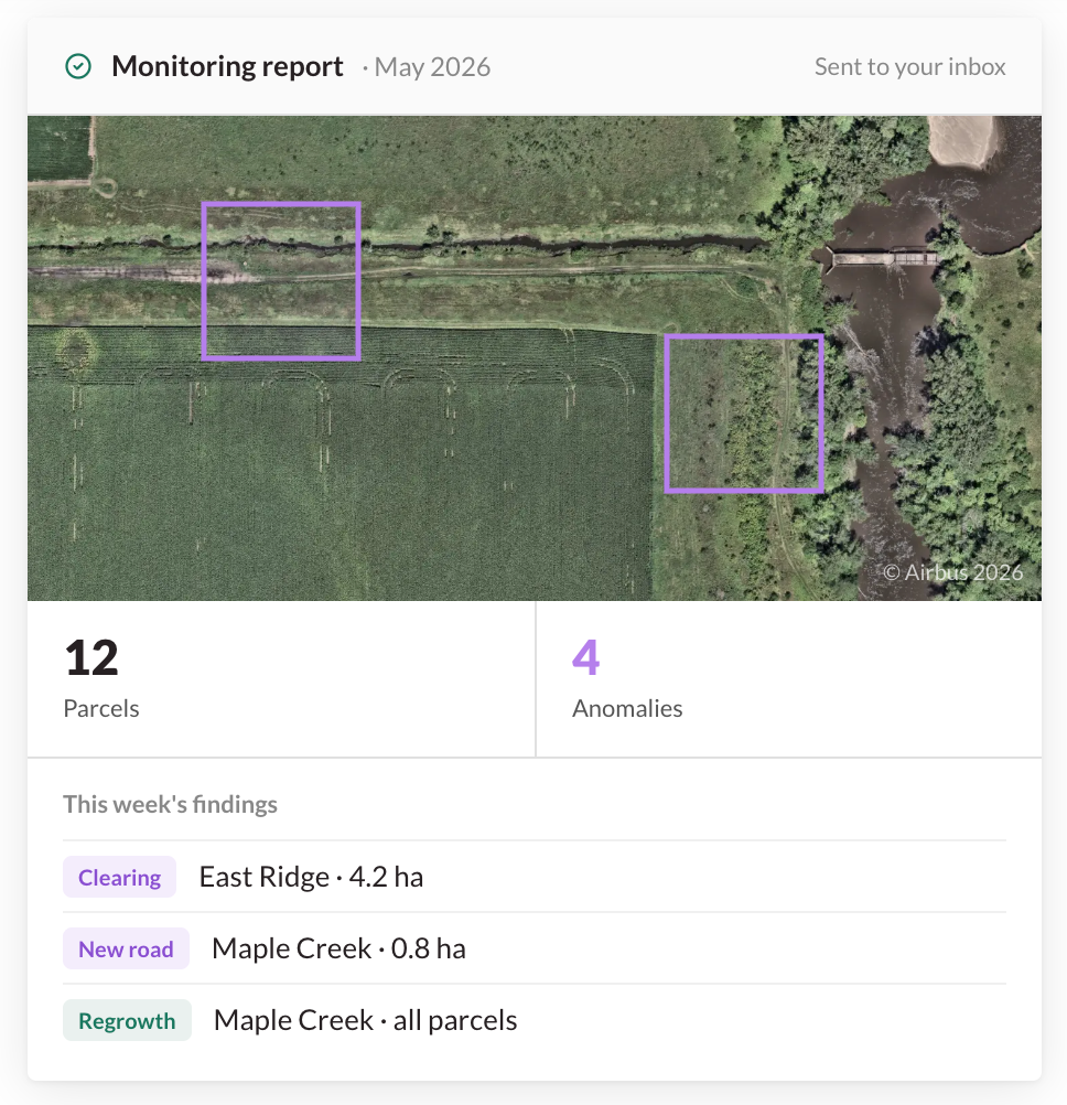
Managed monitoring services from Lens
Keeping up with changes across a land portfolio takes real time — time your team could spend acting on findings instead of searching them out. That's why we offer managed monitoring services.
Our in-house team of geospatial experts handles the monitoring end-to-end: reviewing imagery and delivering clear, documented reports straight to your inbox. No platform lift required.
Every engagement starts with a custom-scoped proposal built around your land, your cadence, and the decisions you care about — whether that's recurring portfolio oversight, AI-powered agentic monitoring, or targeted support for a one-time project.
Customers see 90%+ reductions in staff time and 3–7× net ROI in year one compared to traditional field monitoring.
Webinar recording for state land offices
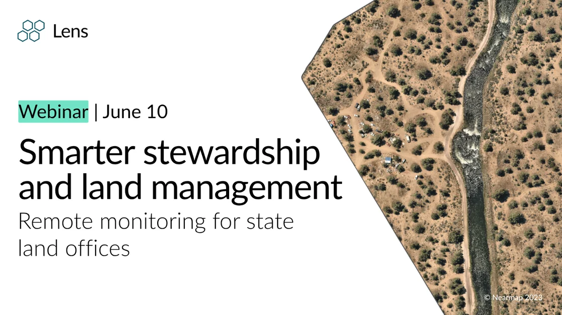
State land offices manage millions of acres with lean teams — remote monitoring is helping them do more with less. In our recent webinar, we explored how Lens enables state land offices to scale oversight across lease compliance, rangeland health, ROW restoration, trespass detection, and post-wildfire recovery.
Where on Earth?
The Burn Index is a helpful (and free) data layer for monitoring fire activity in Lens. The Cottonwood Fire in Utah was first discovered on June 22, 2026, and the Burn Index values peaked just one day later. The area affected by the fire (as of June 23) is visible in the Burn Index layer as well as in false-color imagery. Setting a custom Lookout policy allows Lens to passively monitor for fire activity for you, and alert you when values peak like they did in this instance.

Check out the rest of our resources to learn more about Lens, and know that you can always reach us at [email protected] with any questions.
Happy monitoring!
Alison & the Lens Team