
Thanks for checking out this month's edition of our Lens newsletter. See the highlights here and scroll on for all the details!
- 💻 What's new: An upcoming webinar for state land agencies
- 🌾 Cheatgrass monitoring for Western land managers
- 🤝 In their own words: Stories from Westervelt and other Lens users
- 🏝️ Where on Earth: Martha's Vineyard
If you missed this newsletter in your inbox, be sure to subscribe to stay up to date with the latest product updates, events, and remote monitoring resources.
Upcoming webinar: Smarter stewardship and land management for state land offices
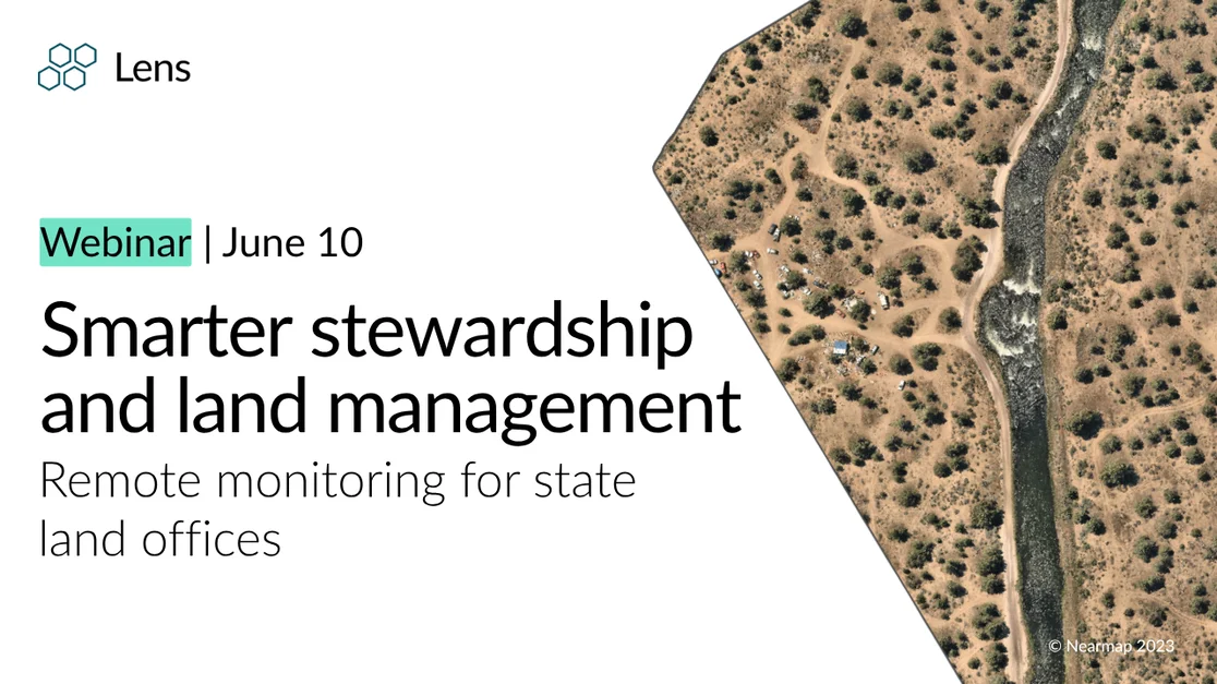
June 10th | 1pm (ET)
In this session, we'll explore how state land offices are applying remote monitoring across a range of real-world use cases—from lease compliance to post-wildfire recovery—using high-resolution imagery, change detection, and AI-powered insights.
Resources for Western land managers
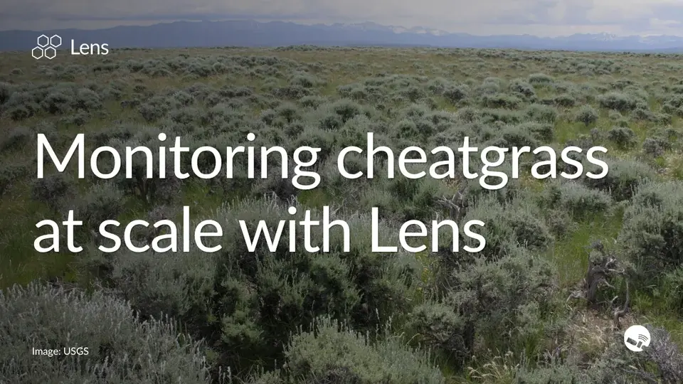
Monitoring cheatgrass at scale with Lens
Prolific invasive cheatgrass is one of the most challenging and urgent land management questions in the West. Our latest blog breaks down how Lens combines satellite imagery, USGS data layers, and automated alerts to help land managers track cheatgrass coverage, measure treatment outcomes, and focus limited field crews where they're needed most. Read more →
New datasets in Lens for monitoring invasive grasses
Lens now includes three datasets to help you track invasive grasses and assess grassland health. USGS Cheatgrass delivers annual percent cover estimates across the western sagebrush biome. Exotic Annual Grass Cover expands that picture with weekly updates during peak growing season. And the U.S. Fish & Wildlife Service's Grasslands Risk layer maps where cropland conversion and woody encroachment most threaten intact grasslands.
We're always adding new datasets to the Lens Library. Explore the selection now, or book a demo with our team to see the data in action.
Lens users in their own words: Customer success stories
From land trusts to county assessors, Lens users are finding new ways to do more with less. Here's a look at how three teams are putting remote monitoring to work.
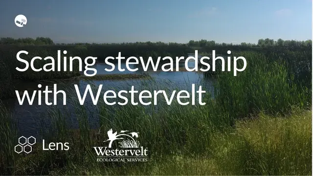
🌲 Westervelt Ecological Services
Westervelt's wetland and stream restoration team manages thousands of acres across multiple regions. They needed a faster, more flexible way to track changes and report on carbon. With Lens, they replaced slow aerial flyovers with on-demand imagery and built a carbon reporting workflow that takes minutes instead of days. "In the range of tools and methodologies used in the carbon accounting sector, the Lens data quality is some of the most accurate available," says Sam Blumenfeld, their Sustainability & Policy Analyst. Read more →
🛰️ The Forest Society
The Forest Society uses satellite tasking through Lens to monitor 800+ easements across 136,000 acres with a small team. "Not having to stress about whether we'll get something we can use has been huge for us." — Naomi Brattlof, Easement Stewardship Director Read more →
✅ Washington County, CO
In her first season with Lens, County Assessor Hali Thompson discovered 23 unrecorded buildings, added $3M in assessed value, and saved 180+ hours of fieldwork — all from her desk. Read more →
Where on Earth?
The island of Martha's Vineyard lies off the coast of Massachusetts and is famous for its beautiful coastline. Those sandy shores are prone to erosion, which in the case below has interrupted beach access and contributed to land loss.

Stay up to date with the latest in Lens by heading to our Resources page, and feel free to drop us a line with any questions.
Happy monitoring!
- The Lens Team


