
Thanks for checking out this month's edition of our Lens newsletter. See the highlights here and scroll on for all the details!
- 💻 What's new: An upcoming webinar for state land agencies
- 🗞️ In the news: Partnerships with CO State Land Board and CTrees
- 🌷 Where on Earth: Tulip fields in the Netherlands
If you missed this newsletter in your inbox, be sure to subscribe to stay up to date with the latest product updates, events, and remote monitoring resources.
Upcoming webinar
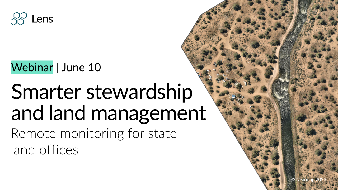
🎥 Smarter stewardship and land management for state land offices
June 10th | 1pm (ET)
In this session, we'll explore how state land offices are applying remote monitoring across a range of real-world use cases—from lease compliance to post-wildfire recovery—using high-resolution imagery, change detection, and AI-powered insights.
New partnerships
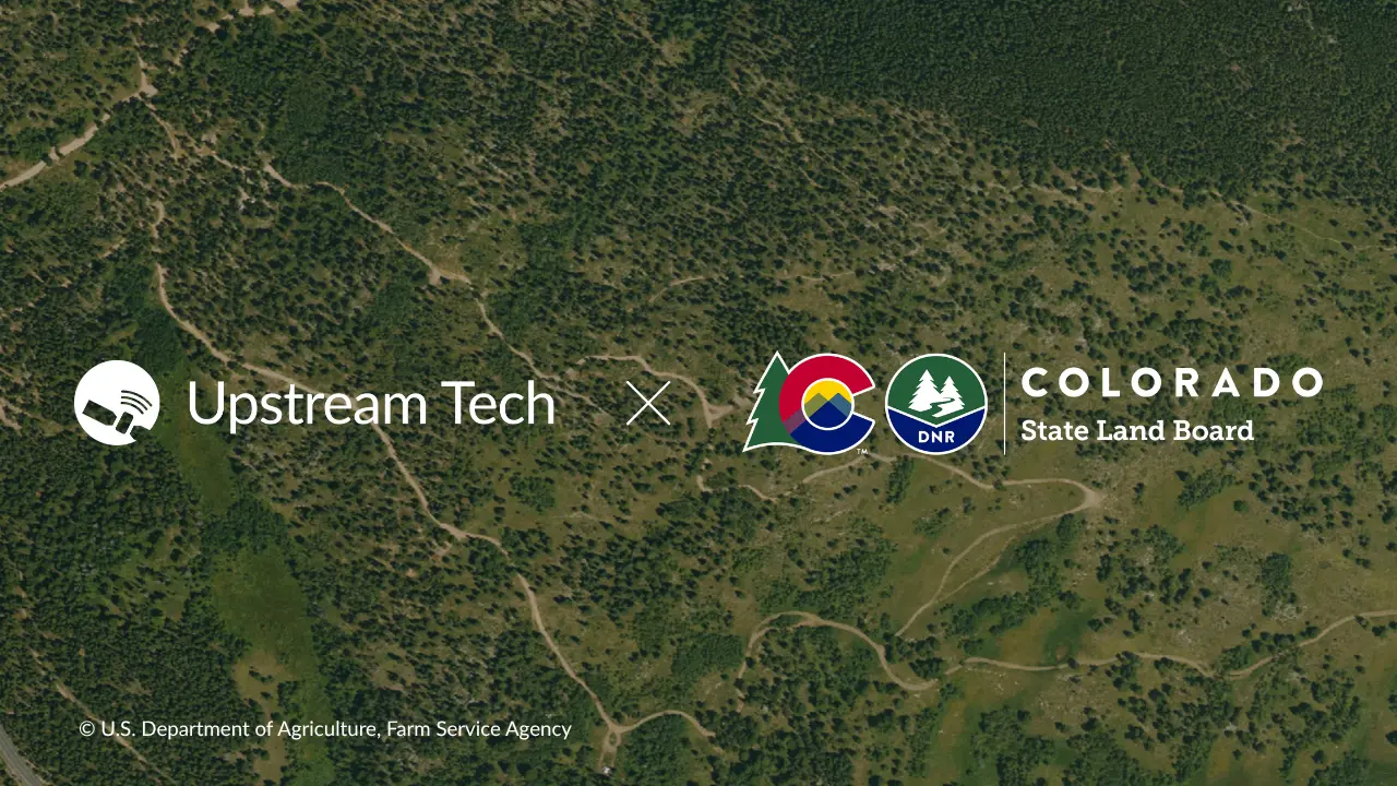
Working with Colorado State Land Board to modernize land stewardship monitoring
We're joining forces with the CO State Land Board to proactively detect stewardship issues, expand grazing and rangeland management monitoring, support habitat restoration efforts, and improve broader ecosystem health monitoring capabilities through the partnership. Read more about the partnership.
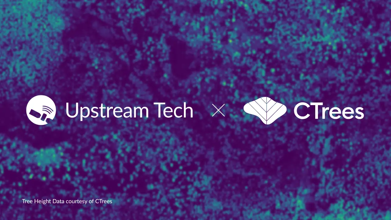
CTrees data coming to Lens: Improving access to high-quality forest data
We're excited to partner with CTrees to expand access to high-quality forest data, combining scientific expertise and geospatial technology to support better insights and outcomes for forests. Learn more about the partnership.
What's new: Data layers
New datasets and layers — vector data that can be displayed on top of the map in Lens — are added to the Lens Library all the time! Here are a few recent additions:
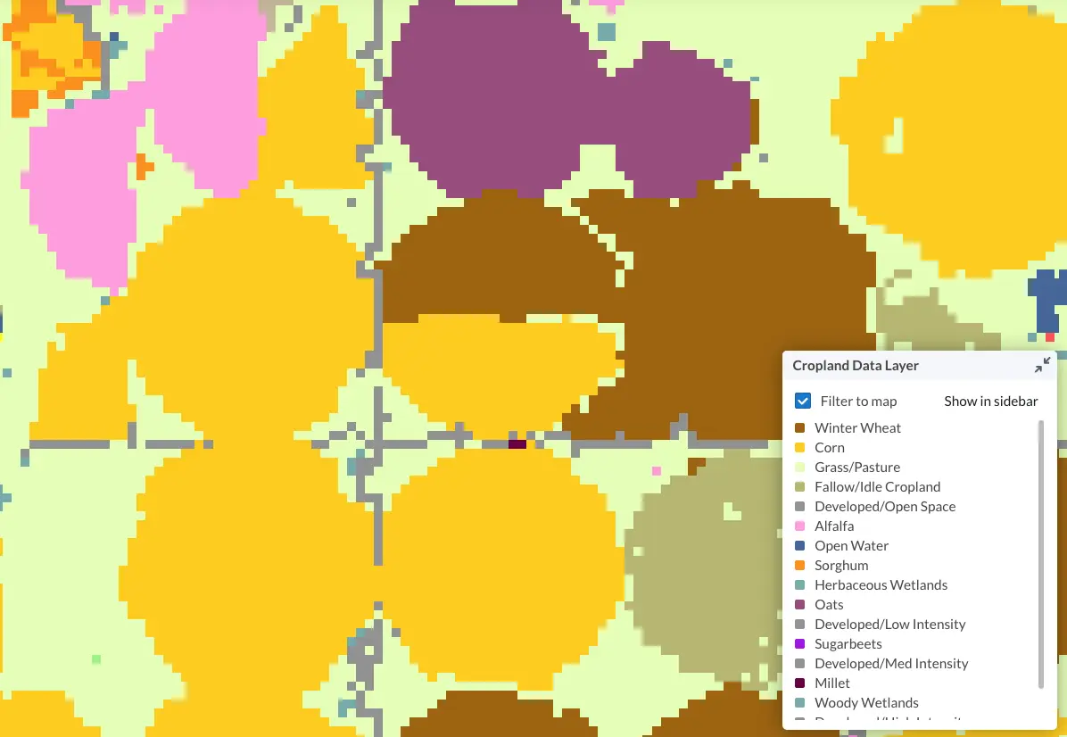
👩🌾 Cropland layer
The Cropland Data Layer (CDL), produced by the USDA National Agricultural Statistics Service (NASS), uses both satellite imagery and ground data to provide crop-specific land cover classification.
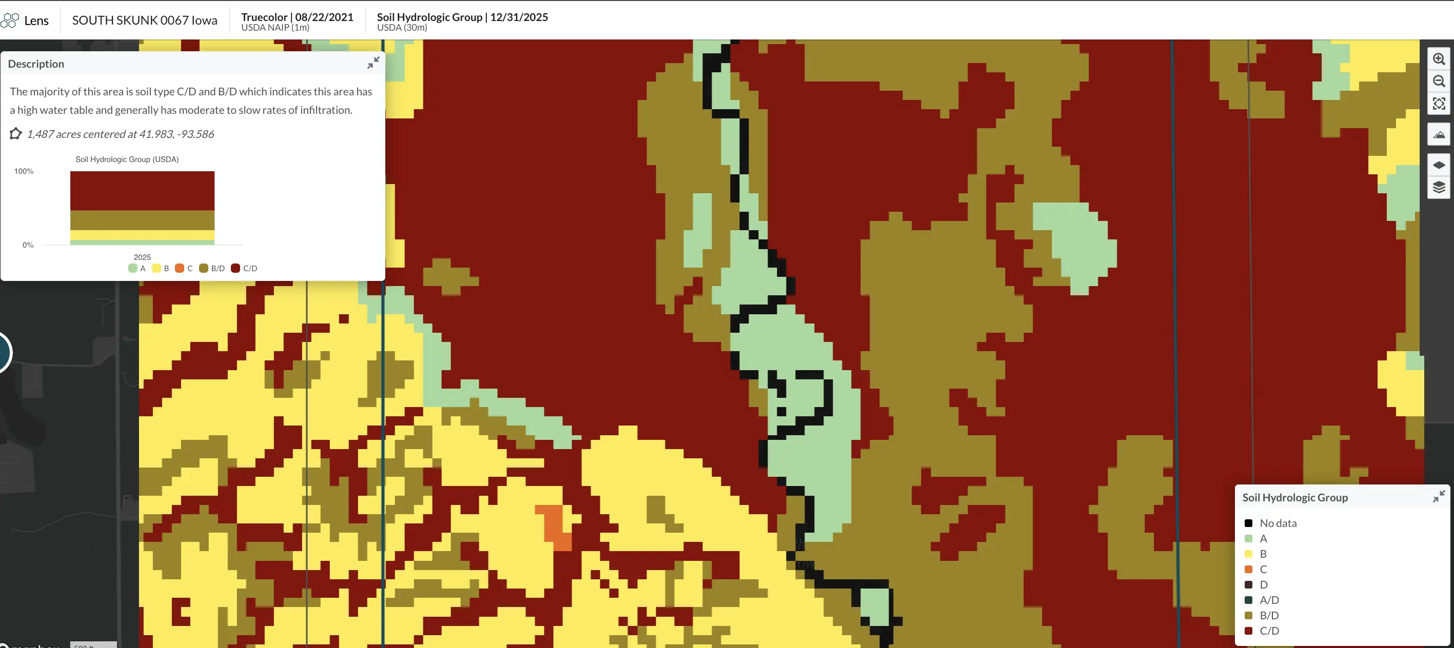
🚜 gNATSGO Soil Hydrologic Group layer
The gridded National Soil Survey Geographic Database (gNATSGO) is a comprehensive dataset providing detailed info about soil properties and classifications across the United States.
🌐 BLM National PLSS layer
This layer shows the official U.S. government grid system used to divide and measure public land. As you zoom in, it reveals increasing levels of detail — from large township blocks down to smaller subdivisions and individual parcels. You can use this layer to identify and add specific properties to Lens.
Where on Earth?
The Netherlands is world-famous for its vibrant tulip fields — especially around Lisse, near the Keukenhof Gardens. The image below captures the spectacular colors of tulip season in full bloom. Happy spring!

Stay up to date with the latest in Lens by heading to our Resources page, and feel free to drop us a line with any questions.
Happy monitoring!
- The Lens Team


